What is GIS?
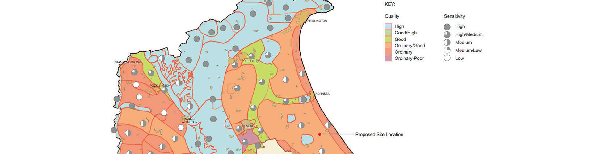
Geographical Information Systems (GIS) are essentially a very flexible form of 2D and 3D mapping software. GIS is an important tool for Landscape + Visual Impact Assessment (LVIA), because it allows us to overlay many data sets, such as Landscape Character Areas and formal designations (eg AONBs and Heritage Assets).
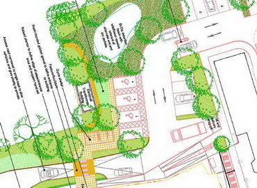
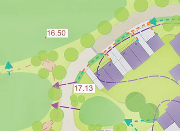
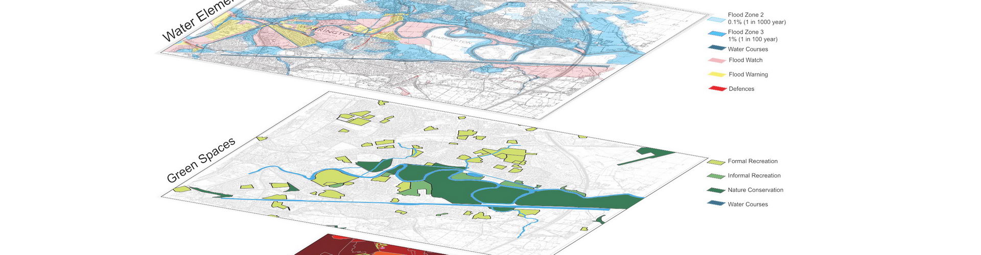
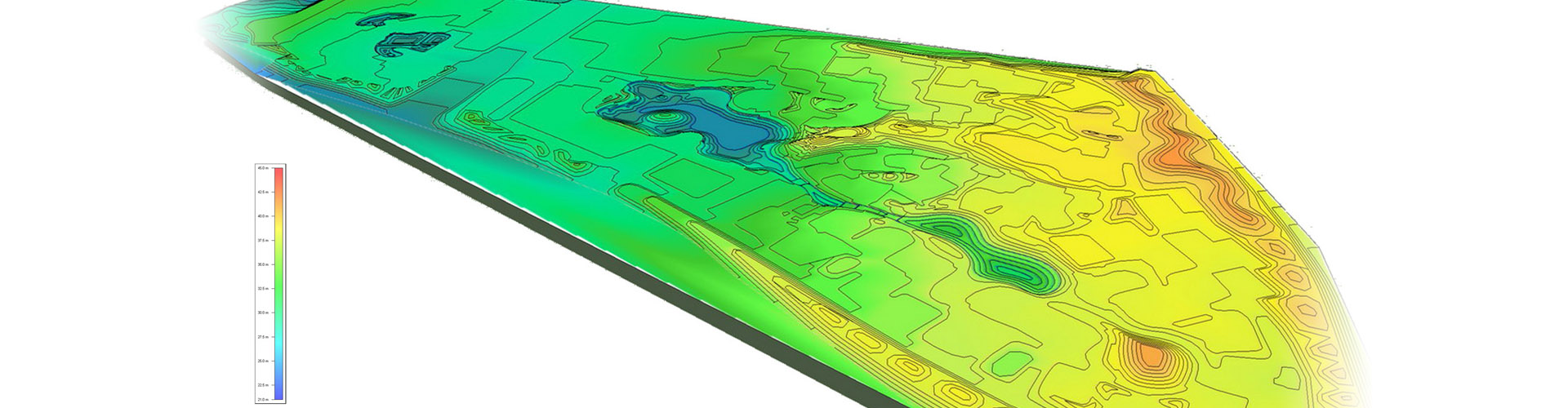
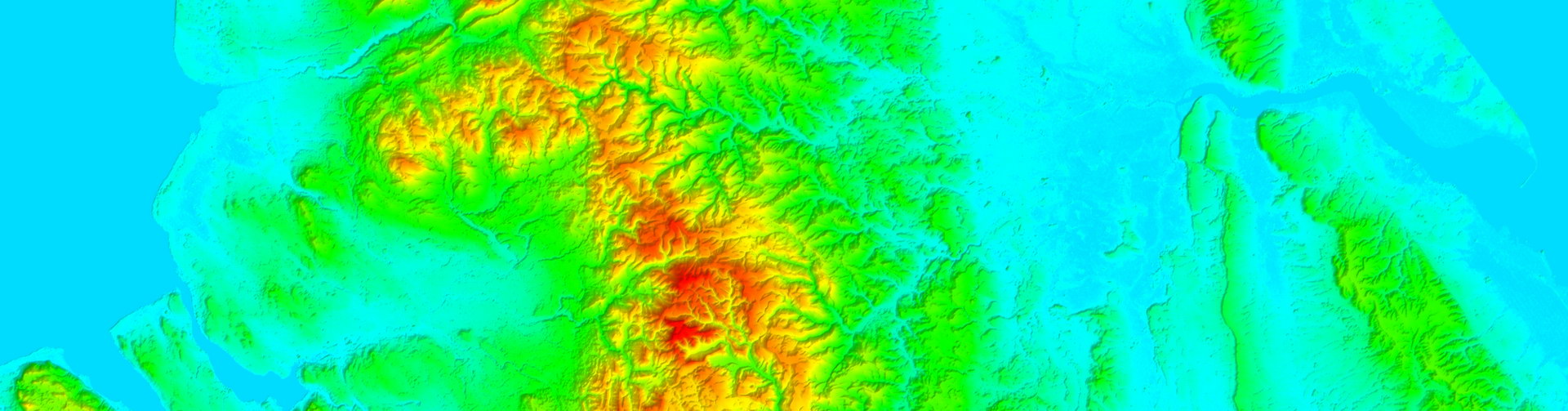
As well as map bases, like traditional Ordnance Survey, data can be presented on an aerial photography background, giving new insights into land use and landscape character. Beyond simple 2D mapping, the GIS model can also include real-world terrain data (eg OS or LiDAR). Imported vector data (eg buildings/woodland) can be assigned heights within the 3D model - which forms the basis of our Zones of Theoretical Visibility (ZTV) service. These capabilities allow multiple selection and display of geographical data against various 2D and 3D backgrounds.
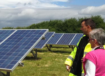
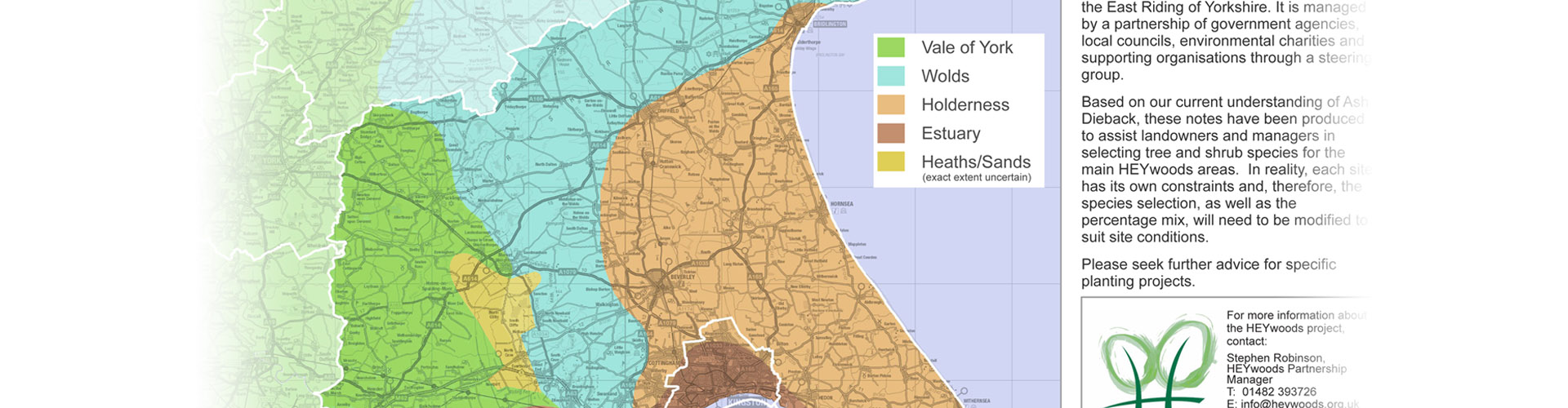
Geographic *Information* is the key part. We are strong believers that the data should be accessible and useful. We are able to export collected GIS data as PDF, DWG, SHP, TAB, Google Earth (KMZ) and many other formats which can be useful for your organisation. For example, we collected data on wind turbine locations across East Yorkshire and adjacent counties, added key data and exported this to PDF and Google Earth formats, for use by East Riding of Yorkshire Council (ERYC) Planning Officers (see Case studies). This enabled ERYC to better understand the location, context and relationship between proposed wind turbines, at a time when the rate of applications was hard to keep up with.
Why 2B?
We deal with the difficult and technical side of GIS so that you only experience its benefits - we collate data which is key to your projects and present it in a fashion which is usable and accessible to your organisation and stakeholders.
Please get in touch to discuss your requirements.